
Mapping Tennessee History
 Tennessee Schools
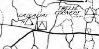
This project will include digitized maps from the book A Study of Local School Units (1937). The book has three maps for each of 59 Tennessee counties: pupil distribution, bus routes, and road conditions. Each map has a symbol for African American and white schools. Tennessee History: Maps, Historical GIS, and Related Sources
This guide provides quick access to digital Sanborn maps, digital map collections developed by the Library of Congress and the Tennessee State Library and Archives, and historical GIS projects (e.g., Tennessee Civil War GIS Project.